
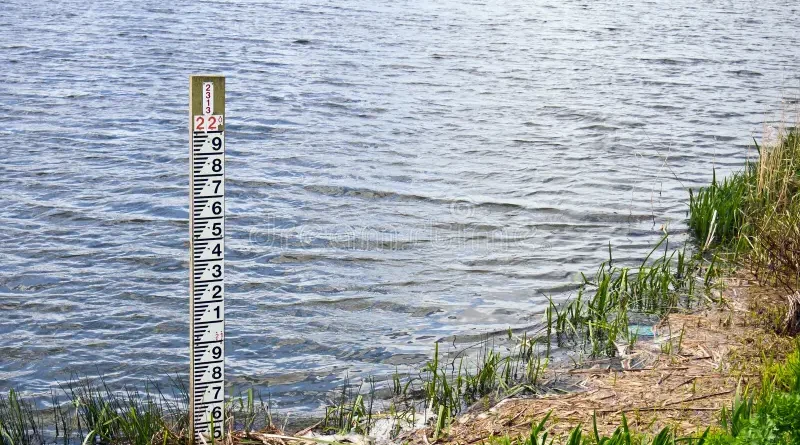
Water Level and Gauge Update
Water Level and Gauge Update
The water of Jhelum at Sangam peaked at 20.37 ft.
The water level of Jhelum at Pampore peaked at 5.22 m.
The water level of Jhelum at Ram Munshi Bagh peaked at 19.15 ft.
Water level of Vishow Nallah dropped to 6.36 m
Water level of Lidder dropped to 0.96 m
*Gauge 9:00 AM 24/07/2026*
🎓 Explore Jobs by Qualification
Explore the latest job opportunities in J&K and across India based on your educational qualification.
*(A) RIVER JHELUM*
1) Sangam (21’/25′) = 18.98 ft
(Status = Decreasing)
2)Pampore (4.5/5.0) = 5.16 m
(Status = Decreasing)
3) MunshiBagh (18’/21′) = 19.12 ft
(Status = Decreasing)
4) Asham (14.0’/16.5) = 12.29 ft
(Status = Increasing)
5) Wullar (1578.00) = 1575.89 m
(Status = Increasing)
*(B) TRIBUTARIES*
1) Vishow Nallah at Khudwani (7.75/8.50) = 6.52 m
(Status = Increasing)
2) Rambiyara Nallah at Wachi (5.4/5.7) = 1.92 m
(Status = Decreasing)
3) Lidder Nallah at Batkoot (1.5/1.65) = 1.03 m
(Status = Increasing)
4) Doodhganga Nallah at Barzulla (3.65/3.8) = 1.35 m
(Status = NA)
5) Sindh Nallah at Doderhama (3.65/3.9) = 2.38 m
(Status = Decreasing)
(a/b) – where “a” represents Flood Declaration Mark and “b” represents Danger Mark
Irrigation & Flood Control Department, Kashmir