
Glacier-rock collapse poses flood threat beyond GLOFs
Glacier-rock collapse poses flood threat beyond GLOFs
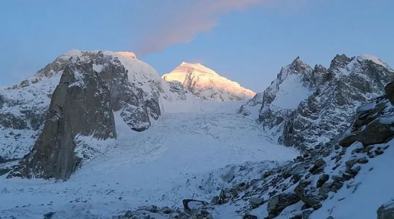
Srinagar, Aug 30: The deadly August 26 flash floods along the Nepal-Tibet border have drawn attention to a high-altitude hazard that can unleash destructive floods without a glacial lake – the sudden failure of glacier ice, rock and debris on an unstable slope.
The International Centre for Integrated Mountain Development (ICIMOD) said satellite analysis showed a high-magnitude glacier-rock collapse, or ice-rock avalanche, entering Lende Khola, a tributary of the Bhote Koshi river, before turning into a debris flood.
The event was initially linked to a possible Glacial Lake Outburst Flood (GLOF).
Subsequent satellite analysis and expert assessments pointed to an ice-rock avalanche associated with glacier and bedrock failure.
Experts Seek Geological Mapping of Unstable Slopes
Riyaz Ahmad Mir, a scientist at the National Institute of Hydrology’s Western Himalayan Regional Centre (WHRC) in Jammu, said the source area had warm permafrost and fractured bedrock.
“The failure entrained large volumes of glacier ice, snow and loose debris. It rapidly moved downstream and transformed into a highly destructive debris flood,” Mir said.
🎓 Explore Jobs by Qualification
Explore the latest job opportunities in J&K and across India based on your educational qualification.
“Recent and prolonged warming, snow and glacier-ice melt, and increased water infiltration into bedrock fractures could have further weakened the slope. However, the direct contribution of climate change remains uncertain,” he said. “These features now require identification and vulnerability assessment.”
Mir said Himachal Pradesh, the Chenab Valley in Jammu – Kishtwar, Doda and Ramban – and Ladakh should be priorities for detailed geological assessment followed by Kashmir.
Prof Ghulam Jeelani, Dean of the School of Earth and Environmental Sciences at the University of Kashmir, said parts of Ladakh, including Zanskar, Shyok, and Nubra share similar high-altitude terrain.
Jeelani explained glacier-rock collapses and GLOFs are separate processes.
“Landslide or glacier collapse cannot create flash floods unless some surface water body, mountain river or water channel is there,” he said. “The collapse itself does not require a glacial lake.”
He said an ice-rock avalanche can enter a river channel, pick up water, sediment and boulders and develop into a destructive debris flood.
It can also strike a glacial lake, damage its natural dam and trigger a GLOF.
“Thawing permafrost can weaken high-altitude slopes. Earthquakes, to which the Himalayan region is already at risk can trigger rockfalls, landslides and avalanches or damage natural dams,” Jeelani said.
Western Himalaya Warming
A June 9 study published in the Journal of Earth System Science by researchers from BIT Mesra, IITM Pune and Ashoka University identified the Western Himalaya – J&K, Ladakh, and Himachal Pradesh – as the most climate-sensitive of the three Himalayan sectors examined.
The study, Vulnerability of the Himalayan region under climate change, found the Western Himalaya has warmed by about 1 degree Celsius since the early 20th century.
Under a high-emissions pathway, winter temperatures during 2081-2100 could rise by 7.18 degrees Celsius above early-20th-century levels.
The study also warned that GLOF risk could shift westward as glaciers retreat and new glacial lakes form.
A separate Department of Geoinformatics, University of Kashmir, study published in the Journal of Glaciology examined 155 glacial lakes in Kashmir using satellite data from 1992 to 2024.
It identified Bramsar, Chirsar, Nundkol, Gangbal, and Bhagsar as having very high GLOF susceptibility.
A preliminary assessment placed 2704 buildings and about 15 major bridges within potential impact zones.
Roads and a hydropower project were also identified as exposed.
The findings do not mean the lakes are on the verge of an outburst.
They indicate higher susceptibility under specific triggering conditions.
The study, however, does not cover unstable glacier-rock slopes that can fail independently of a glacial lake.
Need for real-time alerts
Mir said risk assessments must go beyond glacial-lake inventories.
“The vulnerability assessment has to consider the entire system -the glacier, rock slope, permafrost, water, river channel and the downstream area,” he said.
Experts called for detailed geological mapping of high-altitude slopes, fractured bedrock and permafrost zones.
They also sought assessment of glacier stability, potential ice-rock avalanche paths and downstream debris-flood corridors.
“Vulnerable sites should be monitored through satellite imagery and ground-based systems,” Mir said.
“Real-time monitoring and early-warning systems are important in areas where sudden slope failures can threaten downstream settlements and infrastructure,” he said.
For Jammu and Kashmir, Mir said Kishtwar is the main hotspot in the Chenab valley and faces high risk from both glacier-related hazards and GLOFs.
Doda and Ramban also require assessment.
Ladakh has the highest exposure to glacier-rock collapses and GLOFs, while Kashmir has lower GLOF exposure but remains vulnerable to glacier-rock collapses.