
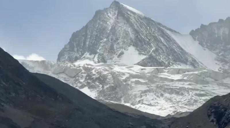
Snowfall is expected over higher reaches & rain showers over plains of J&K during next 24hrs
Snowfall is expected over higher reaches & rain showers over plains of J&K during next 24hrs
A fresh and relatively weak Western Disturbance (WD) is expected to affect Jammu & Kashmir from tonight. Under its influence, light to moderate rain and thundershower activity is likely at most places during the next 24 hours.
Gusty winds/ hailstorm is expected at few locations.
📰 Latest Jammu & Kashmir News
Explore the latest updates, breaking news and important developments from Jammu & Kashmir.
Light snowfall is possible over higher elevations like upper reaches of Kupwara – Baramulah and higher reaches of Sinthan top , Peer ki Gali and Zojila pass, while day temperatures are expected to drop significantly tomorrow.
Overall there is no indications of any heavy or continuous precipitation during this period.
Regards: Kashmir Weather Forecast