
Western Disturbance To Trigger Rain, Snow Across Parts of Jammu Kashmir
Western Disturbance To Trigger Rain, Snow Across Parts of Jammu Kashmir
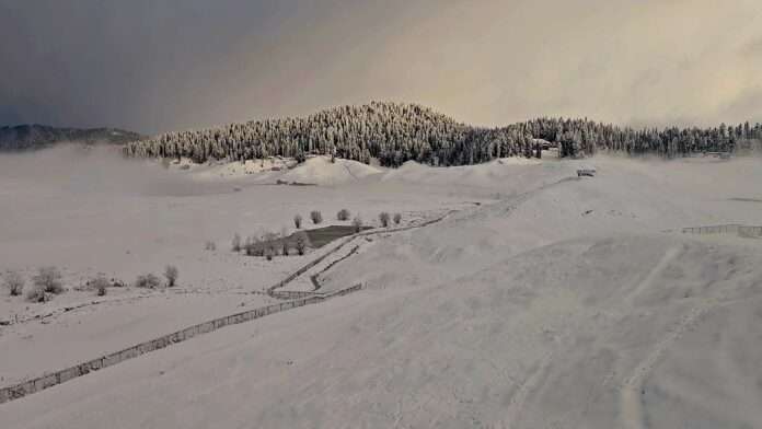
Parts of Jammu and Kashmir are likely to experience a fresh spell of rain and snowfall over the next 24 hours as a Western Disturbance influences the region, with thunderstorms, hail and gusty winds also possible at isolated places.
Kashmir-based independent weather forecaster Kashmir Weather said thundershowers could occur at some places in the plains, while snowfall is possible over the extreme higher reaches. It added that temperatures have remained significantly above normal in recent days and that hailstorms and strong winds cannot be ruled out at a few locations.
The Meteorological Department in Srinagar has also forecast a spell of unsettled weather beginning October 6, particularly over the higher reaches.
From October 6 to 8, the MeT has forecast partly to generally cloudy conditions, with light rain at a few places and light snowfall over higher reaches. Thunder and gusty winds are also likely during this period.
Weather activity is expected to intensify on October 9 and 10, when generally cloudy skies are likely to prevail, accompanied by light to moderate rain at scattered to many places and light snowfall over the higher reaches. Thunder and gusty winds are also expected.
The MeT has forecast partly cloudy conditions across the region from October 11 to 14.